彩途K20B GIS數據采集器 產品介紹(中英雙語)
【中文版】
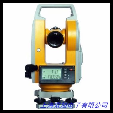
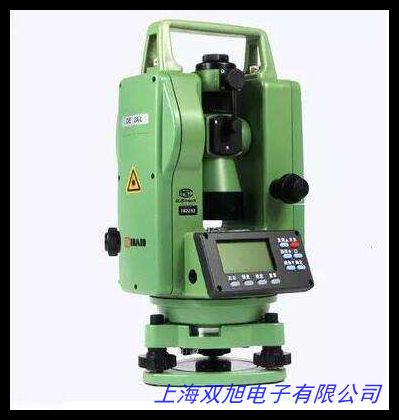
彩途K20B GIS數據采集器是一款多功能手持式地理信息采集設備,專為戶外測繪、資源管理和空間數據分析場景設計。設備集成北斗衛星導航系統與多頻段衛星信號接收技術,可實時獲取經緯度坐標、海拔高程及地形數據,支持面積測量、路徑規劃和坐標標記等專業功能。
產品采用5英寸高亮觸摸屏,搭載智能抗反射涂層,確保強光環境下數據清晰可見。內置高靈敏度四星定位模組(北斗/GPS/GLONASS/Galileo),水平定位精度可達±1.5米,海拔測量誤差小于±3米,滿足常規測繪需求。IP67防護等級機身可承受1.5米跌落沖擊,配合寬溫區工作設計(-20℃至60℃),適應復雜野外環境。
設備配備5200mAh鋰電池,支持連續12小時作業續航,可通過Type-C接口快速充電。內置16GB存儲空間并支持256GB擴展存儲,兼容Shapefile、KML、GPX等通用GIS數據格式。創新開發的三維電子羅盤與氣壓計輔助模塊,可自動校正方位偏差并計算氣壓變化數據,為戶外勘探提供多維參考。
應用場景覆蓋農業規劃、林業資源調查、工程測繪、戶外探險等多個領域。用戶可通過自定義數據圖層實現多項目標管理,配套PC端數據處理軟件支持測量結果可視化分析與報告生成。人性化設計的物理快捷鍵與語音備忘功能,顯著提升單人作業效率。
【English Version】
The Caito K20B GIS Data Collector is a versatile handheld device engineered for field surveying, resource management, and geospatial data collection. Equipped with BeiDou Navigation Satellite System and multi-band satellite signal reception technology, it delivers real-time coordinate positioning, altitude measurement, and terrain data analysis, supporting professional functions including area calculation, route planning, and coordinate marking.
Featuring a 5-inch sunlight-readable touchscreen with anti-glare coating, the device ensures optimal visibility under intense lighting. Its advanced quad-constellation positioning module (BeiDou/GPS/GLONASS/Galileo) achieves ±1.5-meter horizontal accuracy and ±3-meter vertical precision, meeting standard mapping requirements. The IP67-rated ruggedized housing withstands 1.5-meter drops and operates reliably across -20℃ to 60℃ temperature ranges.
Powered by a 5200mAh rechargeable battery, it provides 12-hour continuous operation with rapid charging via Type-C port. The 16GB internal memory (expandable to 256GB) accommodates various GIS formats including Shapefile and KML. Integrated 3D electronic compass and barometric altimeter enhance directional accuracy while monitoring atmospheric pressure changes.
Applications span agricultural mapping, forestry inventory, construction surveying, and wilderness navigation. Customizable data layering enables multi-project management, while desktop software facilitates visual analytics and report generation. Ergonomic physical buttons and voice memo functionality significantly improve single-handed operation efficiency.
This device combines robust field performance with intuitive operation, offering reliable geospatial solutions for professionals across industries. Optional external antenna port enhances signal reception in challenging environments, and the modular design allows flexible functional expansion based on project requirements.