麥哲倫探險家GC 戶外手持GPS高精度面積測量儀海拔經緯度坐標地圖
產品概述
麥哲倫探險家GC是一款專為戶外探險與精準測量設計的專業手持GPS設備,集高精度定位、面積測量與多功能導航于一體。其輕巧堅固的機身采用抗沖擊材料,搭配IPX7級防水設計,可適應野外復雜環境,滿足登山、勘測、農業等場景需求。設備內置中國基礎地圖,支持二維/三維視圖切換,并兼容用戶自定義坐標系統(如北京54、西安80等),為戶外作業提供直觀的地理參考。
核心功能
高精度定位與測量:搭載SiRFstarIII高靈敏度GPS芯片,定位精度達3-5米,支持WAAS/EGNOS差分信號修正,確保復雜地形下的穩定性能。獨特的面積測量功能可快速計算不規則區域(如農田、森林)的周長與面積,并支持單價輸入實現總價估算,適用于土地規劃與資源調查。
導航與數據管理:配備2.2英寸半反半透式彩色屏幕,陽光下清晰可視,內置500MB用戶存儲空間,可記錄航點、航跡及航線,支持通過USB或MicroSD卡導出數據,方便后期分析與共享。
用戶體驗
設備采用人性化掛環設計,可懸掛于背包或頸部,單手操作便捷。兩節AA電池供電續航長達18小時,解決戶外電力焦慮。預裝地圖包含道路、水系等關鍵地物信息,結合迷你羅盤界面,助力用戶快速定向。
適用場景
廣泛應用于戶外探險、農林測繪、災害監測等領域,尤其適合需要快速獲取經緯度坐標、海拔高度及地形數據的專業用戶。其耐用性與多功能性使其成為野外作業的可靠伙伴。
Product Overview
The Magellan eXplorist GC is a professional handheld GPS device designed for outdoor exploration and precision measurement. Combining high-accuracy positioning, area calculation, and multi-functional navigation, it features a compact and rugged body with IPX7 waterproof rating, ideal for harsh environments like mountaineering, surveying, and agriculture. Preloaded with China base maps, it supports 2D/3D view switching and user-defined coordinate systems (e.g., Beijing 54, Xi’an 80) for reliable geographic reference.
Key Features
Precision Tracking & Measurement: Equipped with SiRFstarIII GPS chip, it achieves 3-5m accuracy with WAAS/EGNOS differential correction. The area measurement tool calculates perimeter and acreage of irregular terrains (e.g., farmland, forests), with optional price integration for cost estimation.
Navigation & Data Management: The 2.2" sunlight-readable color display ensures clarity outdoors. With 500MB storage, it logs waypoints, tracks, and routes, allowing data export via USB or MicroSD for analysis.
User Experience
Designed for convenience, it includes a lanyard ring for hands-free carry and operates on two AA batteries (18-hour runtime). The intuitive interface features a mini-compass and preloaded maps with roads, water bodies, and POIs for efficient navigation.
Applications
Ideal for outdoor adventures, forestry, and environmental monitoring, it meets the needs of professionals requiring real-time latitude/longitude, elevation, and terrain data. Its durability and versatility make it a trusted tool for field operations.
6192024
麥哲倫探險家GC 戶外手持GPS高精度面積測量儀海拔經緯度坐標地圖
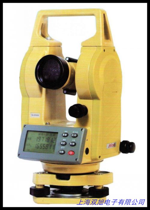
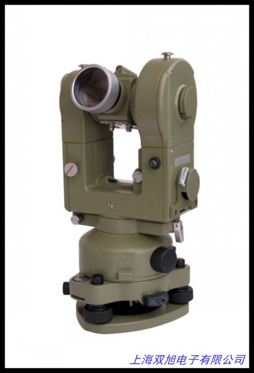
馳度觀測儀 弧垂觀測儀 觀測經緯儀,激光電子經緯儀 高精度經緯儀 全站儀充電器 腳架 測繪儀,保護鏡組件,光電經緯儀鏡筒,投影機鏡頭方案結構圖紙技術專題,混凝土樓板厚度檢測檢測設備-經緯儀檢測,RIKEN 理研 RBL 水準器。森林羅盤儀DQL-16Z,16倍正向森林羅盤儀,羅盤經緯儀, DG-JT-15陀螺經緯儀,智能路燈控制器 液晶屏幕 操作簡單 節假日控制功能 ,曲尺水平儀,鋼片水平儀,掛線水平儀,鋁合金水平儀,激光水平儀 自動找平儀用金屬水泡。保證 蘇一光電子經緯儀帶上下激光電子經緯儀/全站儀,可見近紅外光譜儀PS-100,風速傳感器風速儀塔吊風速儀風力計,測量儀器2秒級光學經緯儀系列 試驗儀器。惠州全站儀年檢/水準儀維修/經緯儀檢定證書/GPS RTK檢測報告,蘇州一光經緯儀J2-2 角度測量儀器 精度高 蘇一光2秒經緯儀,高精度水準泡圖,GPS+北斗雙模塊定位器可定時定位測經緯度海拔高度功能,徠卡 TS02系列全站儀 徠卡TS02-2全站儀 實體店鋪。
上一篇 配合經緯儀,電子經緯儀加工設計圖紙技術專題貨到付款 http://www.uoncy.cn/product/d122766.html
|


