華辰北斗彩途N130北斗手持機高精度經緯度定位儀海拔面積測量儀
華辰北斗彩途 N130 北斗手持機:高精度定位與多功能測量的卓越選擇
華辰北斗彩途 N130 北斗手持機是一款集高精度經緯度定位、海拔測量以及面積測量功能于一體的先進設備,專為滿足戶外作業、地理測繪、環境監測、資源勘探等領域的多樣化需求而設計。它采用了先進的北斗衛星導航系統,能夠提供精準可靠的定位數據,確保用戶在復雜環境下的操作也能獲得高精度的結果。
在經緯度定位方面,華辰北斗彩途 N130 手持機具備卓越的性能。它能夠快速捕捉衛星信號,即使在城市峽谷、森林茂密或山區等信號較弱的區域,也能穩定地輸出精確的經緯度坐標。其高精度定位能力,為地理信息采集、土地規劃、工程建設等場景提供了堅實的數據支持,幫助用戶精準掌握位置信息,實現高效的空間數據管理。
海拔測量功能同樣出色。該設備內置高精度氣壓傳感器,結合先進的算法,能夠實時準確地測量出所在位置的海拔高度。無論是山地探險、登山運動還是地理測繪中對地形高程的測量,華辰北斗彩途 N130 都能提供穩定可靠的海拔數據,為戶外活動的安全規劃和地理數據的精確采集提供有力保障。
面積測量功能則為土地評估、農業規劃、資源調查等場景帶來了極大的便利。用戶只需沿著待測區域的邊界行走,手持機即可通過衛星定位數據自動計算出區域的面積大小。其測量結果精確可靠,操作簡便快捷,大大提高了工作效率,減少了人工測量的誤差和繁瑣流程。
華辰北斗彩途 N130 手持機還具備出色的耐用性和便攜性。堅固的外殼設計使其能夠承受惡劣的戶外環境,如高溫、低溫、潮濕和震動等,確保設備在各種條件下都能穩定運行。同時,其輕便的機身設計便于攜帶,長時間使用也不會給用戶帶來負擔,適合在各種復雜地形和長時間戶外作業中使用。
此外,該設備還配備了大容量電池,能夠提供持久的續航能力,滿足長時間戶外作業的需求。其直觀的操作界面和清晰的顯示屏,讓用戶能夠輕松上手,快速獲取所需數據。多種數據輸出格式和便捷的數據傳輸功能,也方便用戶將測量數據導入到其他設備或軟件中進行進一步分析和處理。
華辰北斗彩途 N130 北斗手持機以其高精度的定位、海拔和面積測量功能,以及出色的耐用性和便攜性,成為了戶外作業和地理測繪領域的理想選擇。它為用戶提供了一種高效、可靠且便捷的測量解決方案,無論是專業人員還是戶外愛好者,都能從中受益,提升工作效率和數據采集的準確性。
HUACHEN BEIDOU CaiTu N130 Handheld Device: A High-Precision Positioning and Multi-Functional Measurement Tool
The HUACHEN BEIDOU CaiTu N130 Handheld Device is an advanced instrument that integrates high-precision latitude and longitude positioning, altitude measurement, and area measurement functions. It is specifically designed to meet the diverse needs of outdoor operations, geographical mapping, environmental monitoring, and resource exploration.
In terms of latitude and longitude positioning, the CaiTu N130 Handheld Device demonstrates outstanding performance. It utilizes the BeiDou Navigation Satellite System to provide accurate and reliable positioning data. Even in areas with weak signals, such as urban canyons, dense forests, or mountainous regions, it can quickly capture satellite signals and stably output precise coordinates. This high-precision positioning capability offers robust data support for geographical information collection, land planning, and construction projects, enabling users to efficiently manage spatial data.
The altitude measurement function of the device is equally impressive. Equipped with a high-precision barometric sensor and advanced algorithms, it can accurately measure the altitude of the location in real-time. Whether for mountain exploration, hiking, or topographic elevation measurement in geographical mapping, the CaiTu N130 provides stable and reliable altitude data. This ensures the safety planning of outdoor activities and the accurate collection of geographical data.
The area measurement function brings great convenience to land assessment, agricultural planning, and resource surveys. Users simply need to walk along the boundary of the area to be measured, and the handheld device will automatically calculate the size of the area based on satellite positioning data. The measurement results are accurate and reliable, with simple and quick operations. This significantly improves work efficiency and reduces the errors and cumbersome procedures associated with manual measurement.
The CaiTu N130 Handheld Device also features excellent durability and portability. Its robust casing design allows it to withstand harsh outdoor environments, such as high and low temperatures, humidity, and vibrations, ensuring stable operation under various conditions. At the same time, its lightweight body design makes it easy to carry and use for extended periods without causing fatigue, making it suitable for use in complex terrain and long-term outdoor operations.
In addition, the device is equipped with a high-capacity battery that provides long-lasting power, meeting the needs of extended outdoor operations. Its intuitive user interface and clear display screen allow users to easily get started and quickly obtain the required data. The device also supports multiple data output formats and convenient data transfer functions, making it easy for users to import measurement data into other devices or software for further analysis and processing.
The HUACHEN BEIDOU CaiTu N130 Handheld Device, with its high-precision positioning, altitude, and area measurement functions, as well as its excellent durability and portability, has become an ideal choice for outdoor operations and geographical mapping. It offers an efficient, reliable, and convenient measurement solution for users. Whether for professionals or outdoor enthusiasts, it can enhance work efficiency and the accuracy of data collection.
華辰北斗彩途N130北斗手持機高精度經緯度定位儀海拔面積測量儀
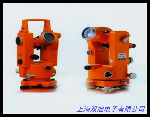
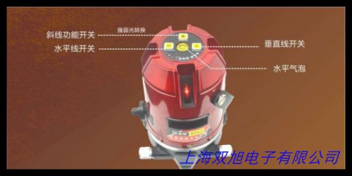
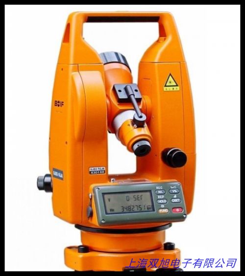
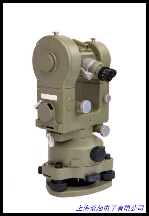
創元蘇州一光經緯儀DT22L電子經緯儀DT22RL激光經緯儀 上下激光,GPS+北斗雙模塊定位器可定時定位測經緯度海拔高度功能,集思寶A8北斗手持GPS定位儀戶外智能衛星導航終端測繪GIS采集器,鋁合金經緯儀全站儀三腳架,垂準儀激光靶牌 激光經緯儀靶 黃色 300*300。電子經緯儀,SKD-6智能型時控儀,經緯度天文鐘路燈控制KD-III,GC-8100型氣相色譜儀,滕州經緯,2014款秀爾導航儀 起亞秀爾專車專用GPS導航儀 車載DVD影音秀爾導,冰河110戶外手持GPS定位儀/北斗GPS旅游專用GPS/海拔坐標/測畝儀。電子全自動可編程微電腦時控儀KD-III天文鐘經緯度時間控制器路燈,日本RIKEN 理研垂直兼用水準器水平儀75×50×18×15,賓得ETH-502電子經緯儀2秒,科技A10北斗導航戶外手持GPS經緯度定位儀船用坐標測畝儀器。Metone 597 溫濕壓一體化傳感器,垂準儀激光靶 經緯儀水準儀反射靶15 20 30CM 紅色透明 透明白色,深達威數字光照度計測光表 高精度照度儀便攜式一體光照測試儀,測繪記錄本/水準儀.經緯儀野外測量記錄本質量保證杭州實體店, 掛線水平儀 LINE LEVEL 調節線水平 條形水平儀 氣泡水平儀。
上一篇 經緯儀專用2m3m5m鋁合金花桿/標桿/活節花桿/優質鋁合金 http://www.uoncy.cn/product/d122596.html
|


